These environmental and climate heatmaps are developed through a partnership between Ukko Agro Inc. and Saskatchewan Pulse Growers to support Saskatchewan producers and agronomists.
Weather data is collected from a 20 km grid of virtual stations using hourly weather data from IBM/The Weather Company. Maps are generated in four-day increments for average, maximum, and minimum temperature, giving you timely updates to inform management decisions. In addition, a frost risk map is produced for each day, allowing growers to monitor and respond to potential frost events.
The maps provide producers and agronomists with the data to optimize seeding planning and predict potential emergence risks, ultimately aiming to improve yields and reduce risks associated with weather variability across Saskatchewan. Access to reliable climate data empowers growers to respond to changing conditions throughout the growing season.
Click each image to view full-screen.
Temperature Maps: Agronomist Notes
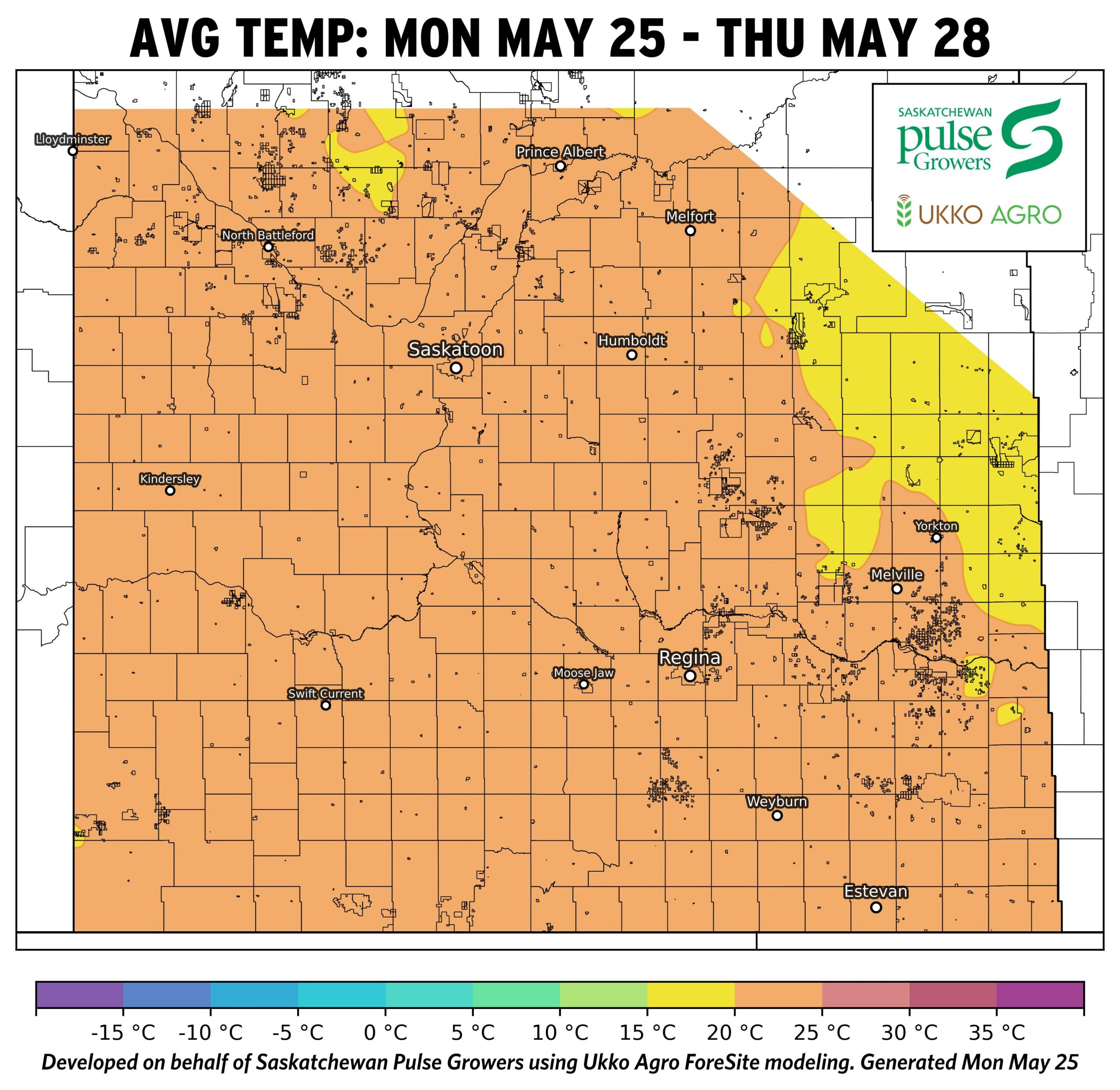
- Average temperatures are ~12–18 °C across most of Saskatchewan, with slightly warmer conditions (~15–20 °C) in the east, supporting steady emergence and growth.
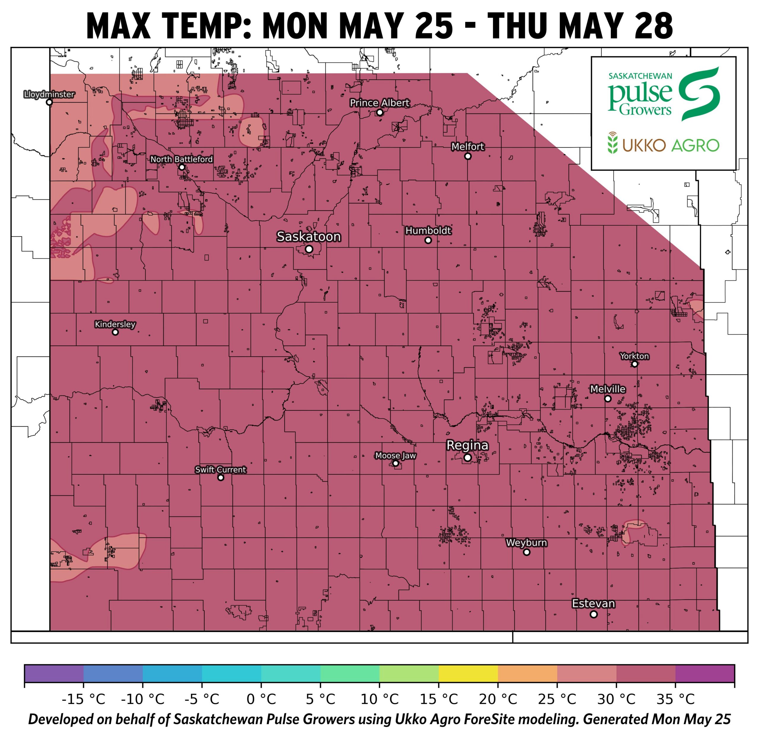
- Daytime maximum temperatures are consistently warm (~22–28 °C), with some areas approaching ~28–30 °C, accelerating emergence and crop growth where moisture is sufficient.
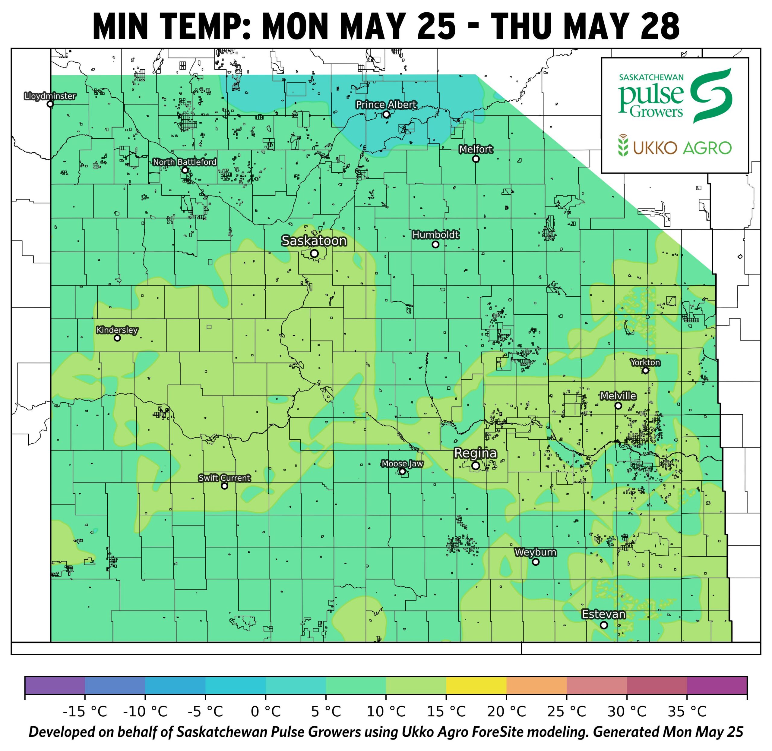
- Overnight minimum temperatures remain moderate (~5–10 °C), limiting cold stress and allowing for more uniform emergence and stand establishment compared to earlier cool conditions.
- The combination of warm days and moderate nights will drive rapid crop development. Timely scouting will help ensure post- emergence applications are completed at the proper staging.
- Warm conditions will increase soil surface drying, raising the risk of moisture stress in dry areas of the province but will continue to dry areas that have seen high moisture levels this spring.
Precipitation Map: Agronomist Notes
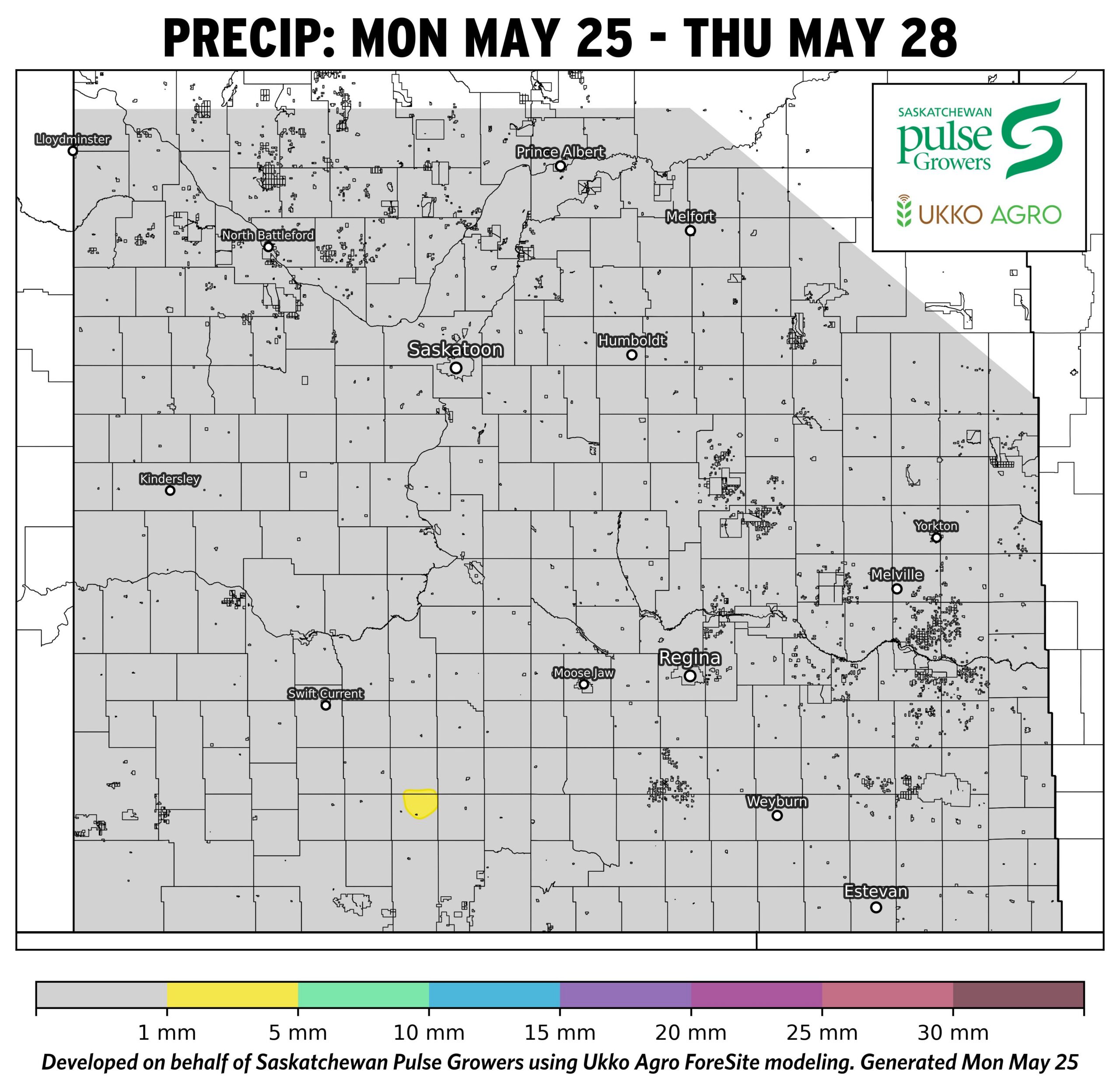
- Precipitation is minimal across the province (~0–2 mm), with most areas remaining dry, providing good field access for seeding completion and in-crop operations.
- Lack of rainfall will continue to reduce topsoil moisture, increasing risk of uneven emergence and variable staging in pulse crops, especially in central and southwestern regions.
- Dry conditions will keep early-season disease pressure low but also limit crop competitiveness against emerging weeds.
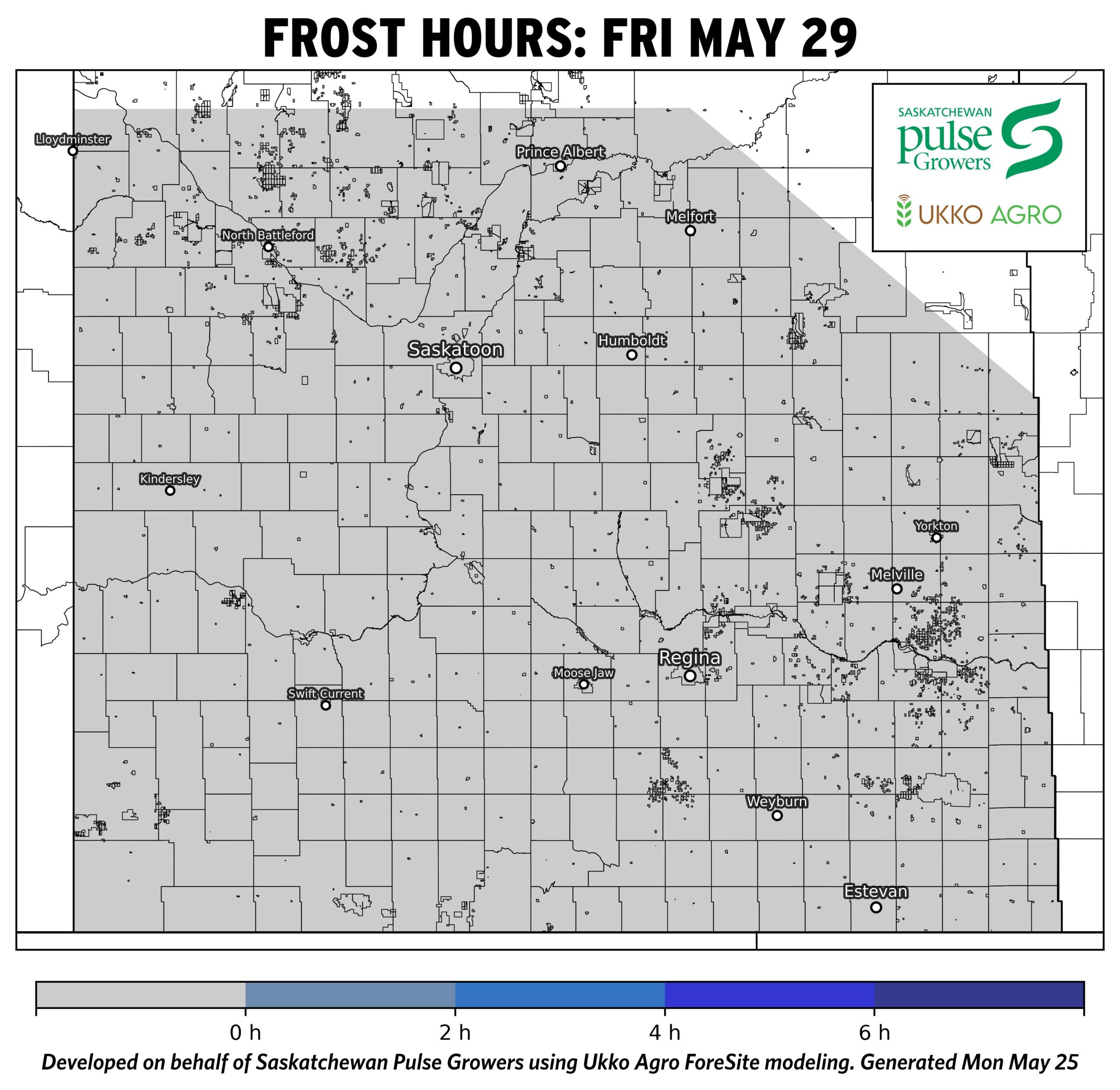
Frost Maps: Agronomist Notes
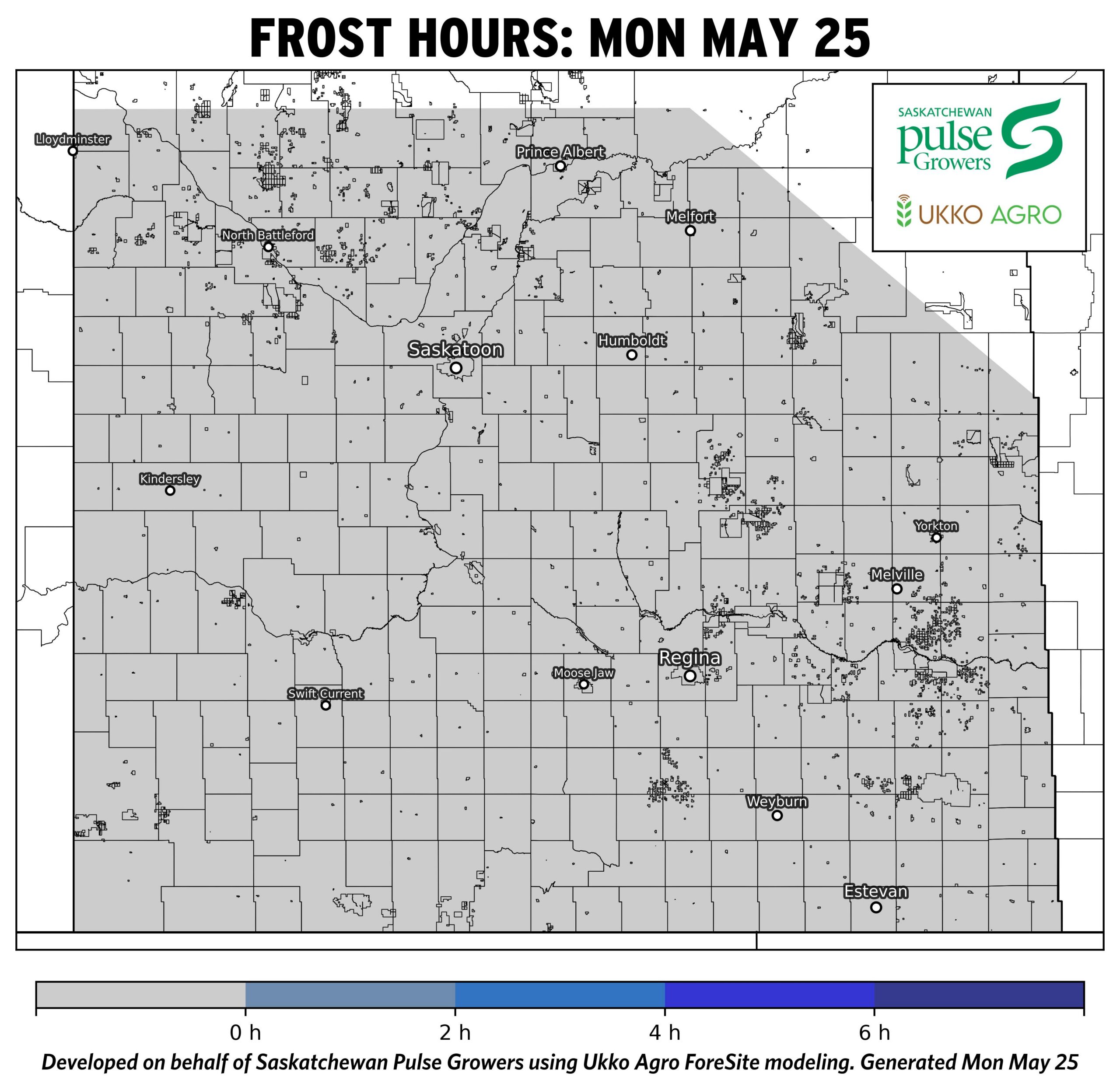
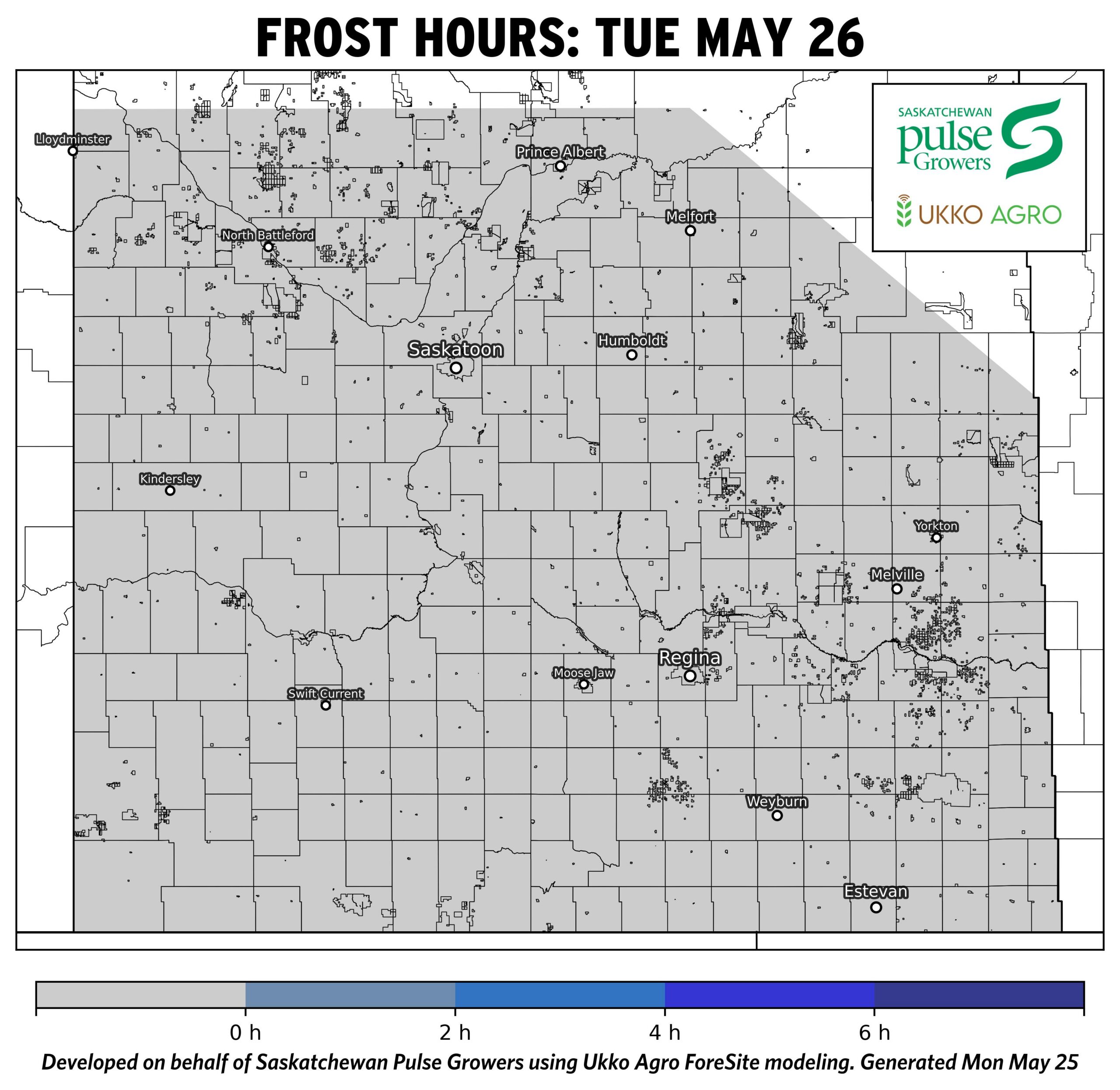
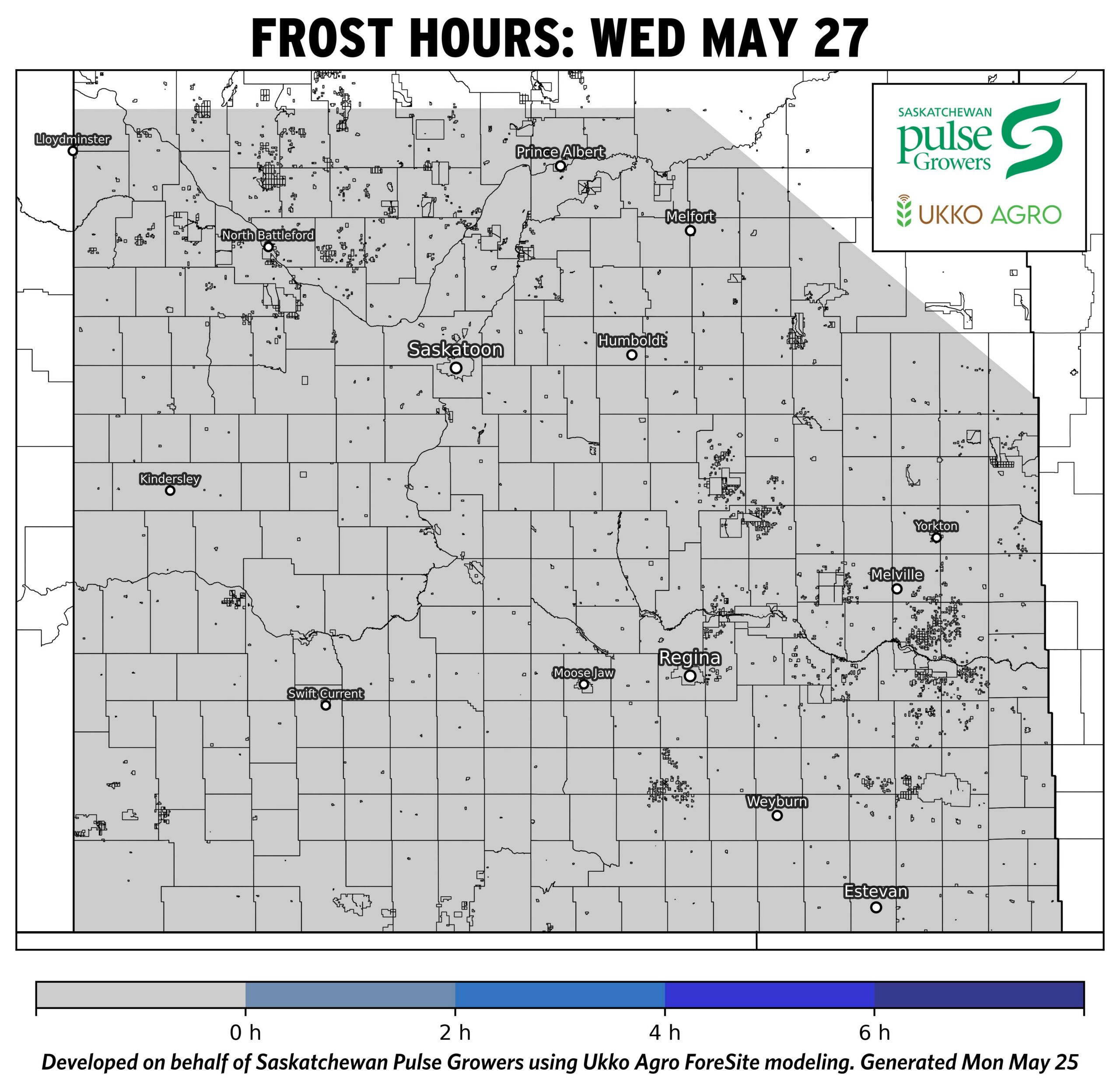
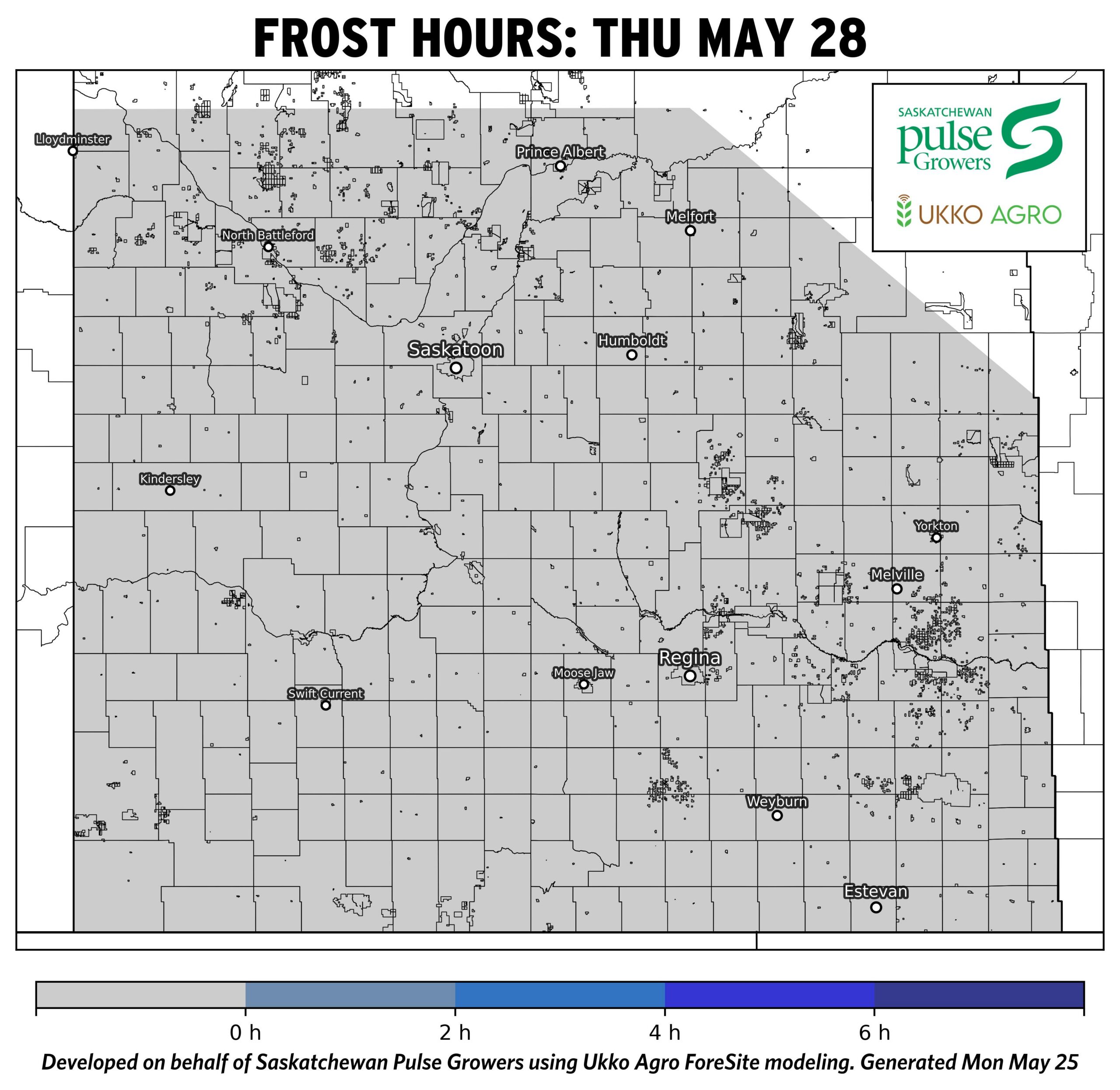
- With little to no frost expected, this will support uninterrupted emergence and early vegetative growth.
- Brief frost exposure may cause minor leaf injury on early-emerged pulse crops, but shouldn’t impact yield potential.
- Reduced frost risk will allow for more uniform crop development, improving timing for herbicide applications and early-season management.
While efforts have been made to ensure the accuracy of these maps, it is important to understand that weather-driven models are inherently uncertain, and forecasts may not be 100% precise. The maps presented are based on the weather conditions at the time of the forecast and are subject to change as conditions evolve.
These maps are intended to serve as a general guide for understanding potential environmental and climate-related conditions and should not be relied upon as the sole basis for operational or management decisions. Local site conditions, land management practices, and other variables may influence outcomes beyond what is captured in the model. Where possible, verify conditions with on-site measurements and observations, and consult qualified professionals for advice tailored to your location and objectives.
Information related to these weather-based environmental and climate condition maps are OFFERED TO THE PUBLIC FOR INFORMATIONAL PURPOSES ONLY. The map creators and collaborating organizations assume no liability for decisions made or actions taken based on the use of this information.